The Skyscraper Route
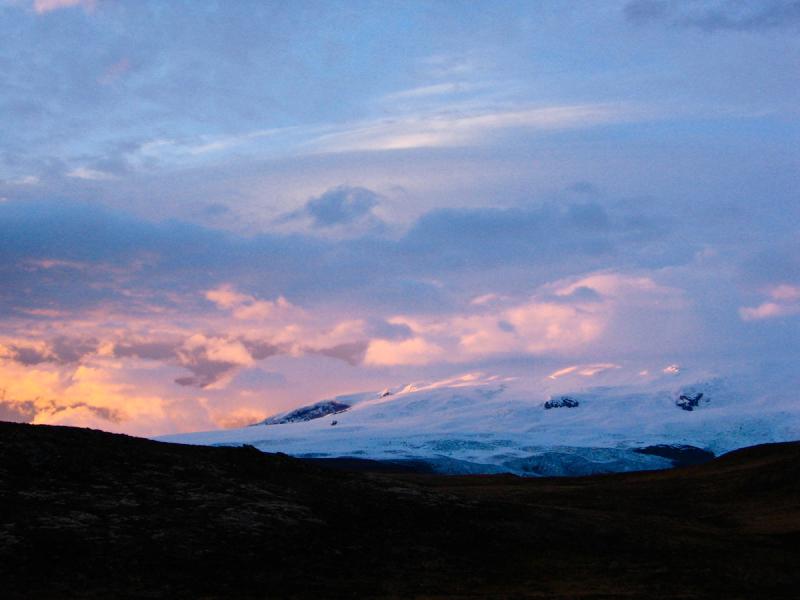
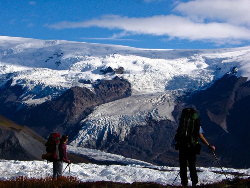
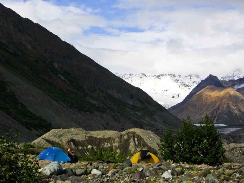
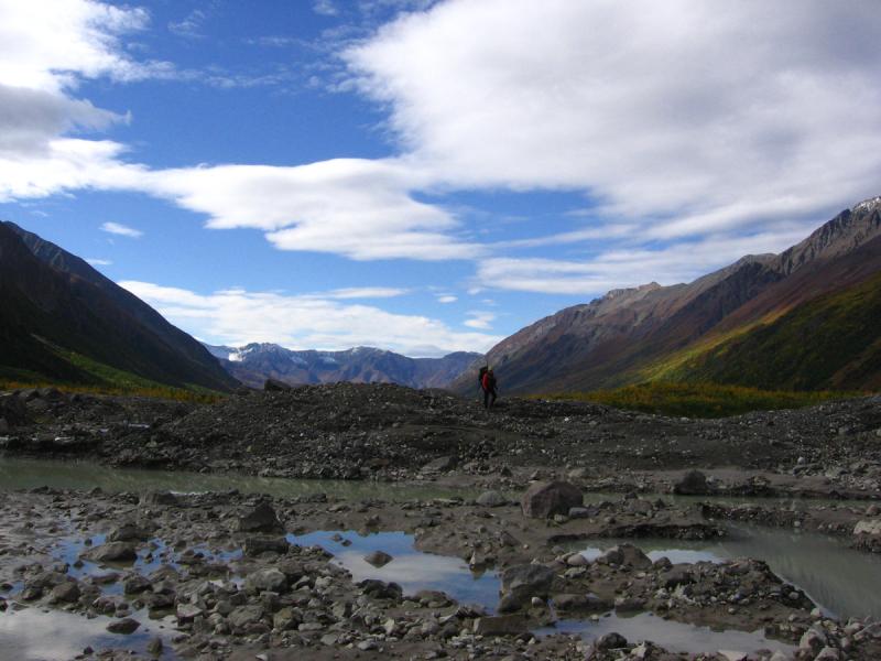
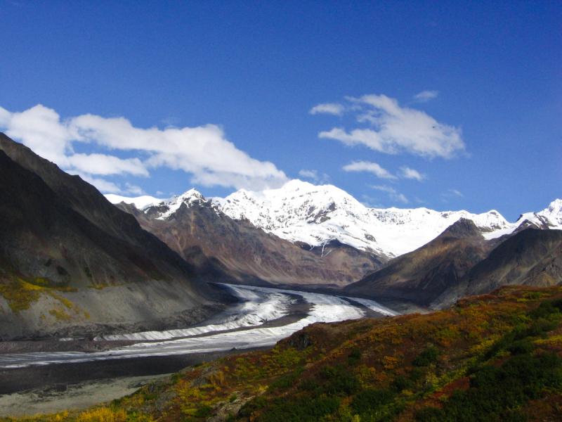
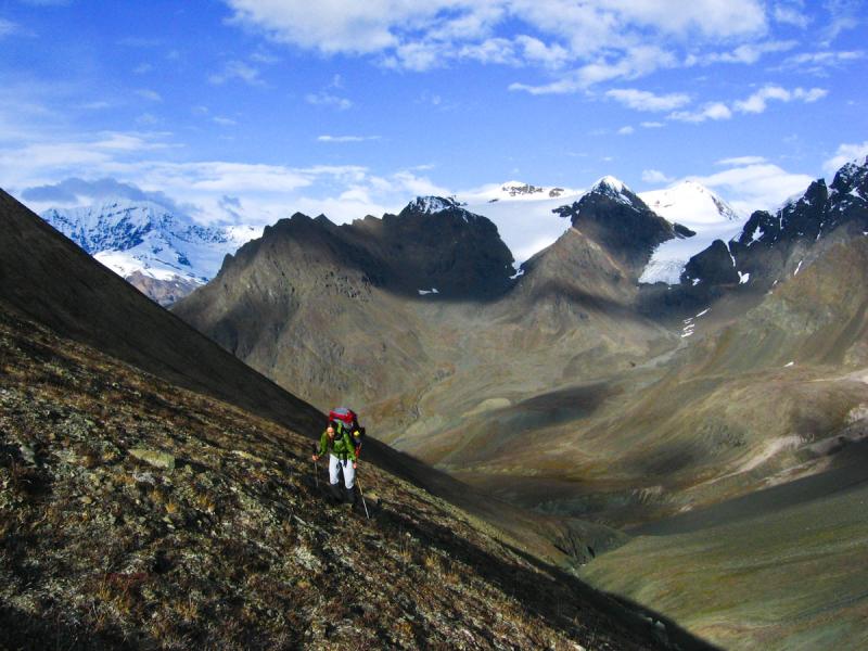
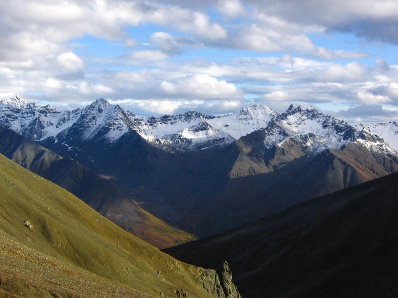
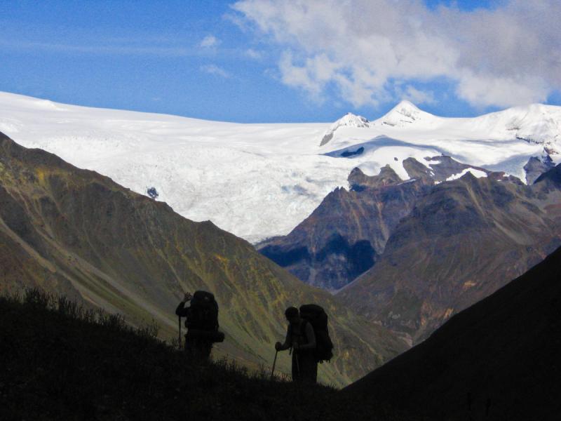
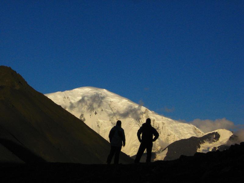
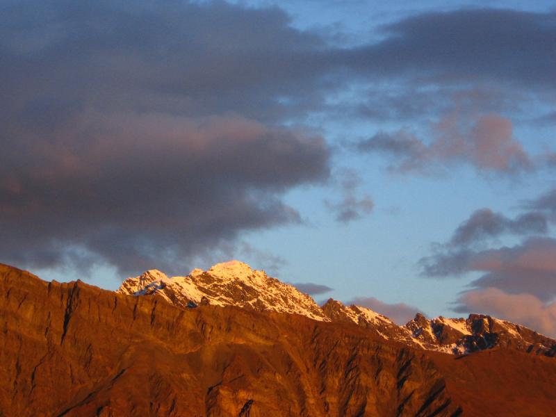
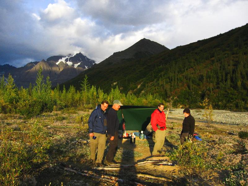
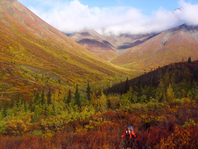
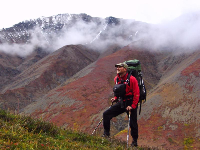
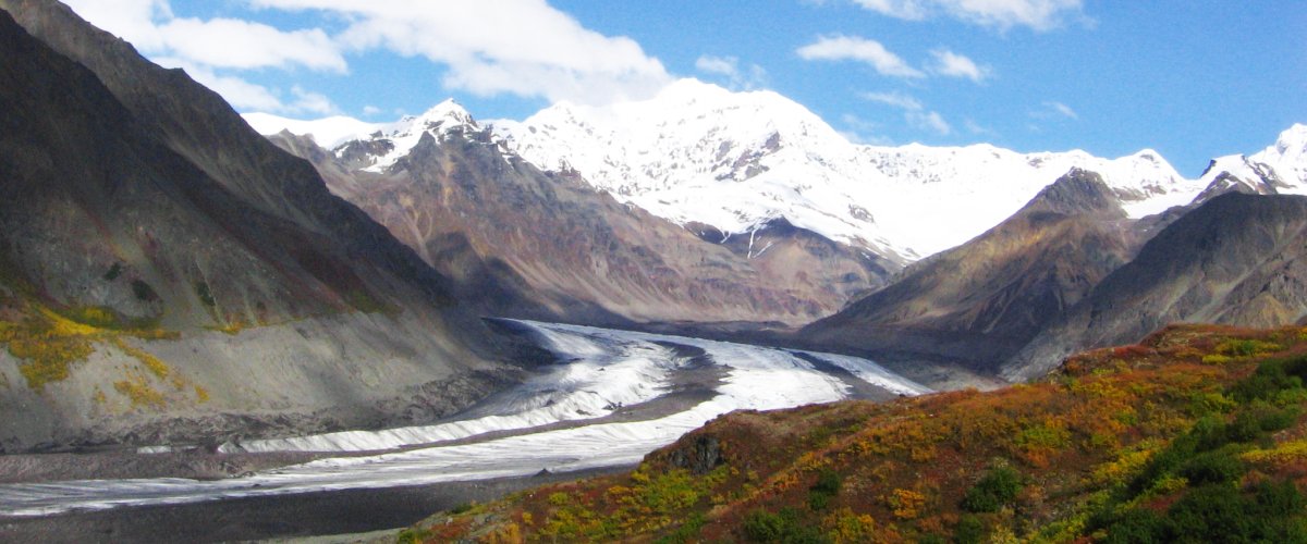
The Skyscraper Route is an extended Alaska backpacking trip that defines rugged, remote trekking in Wrangell-St. Elias National Park. This is an extremely demanding trip through dramatic and challenging terrain. This route will take you through some of the most impressive country in the Wrangell range – across glaciers, up and over three high ridges and through some very demanding and stunning terrain. The route features impressive views of Mt. Blackburn, Mt. Drum Mt. Wrangell and more.
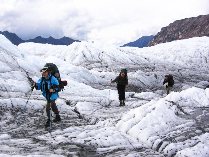
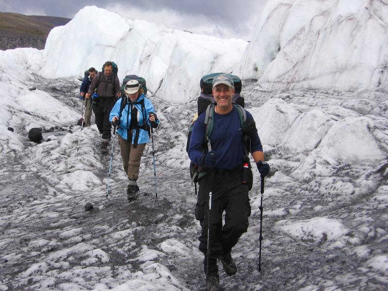
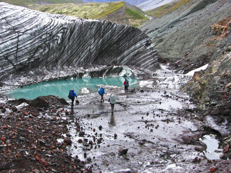
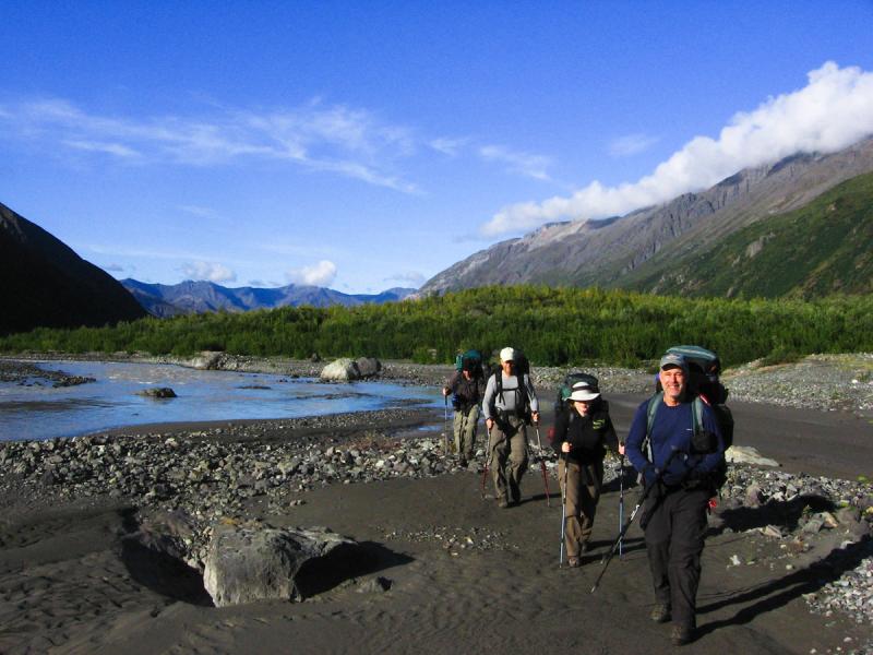
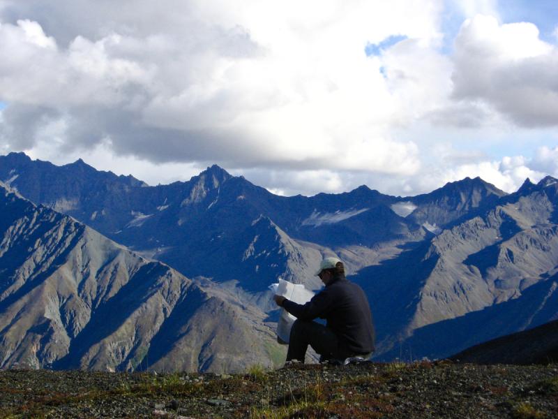
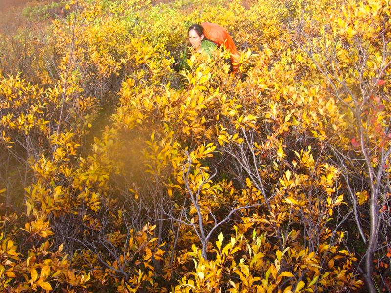
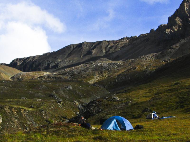
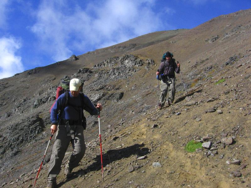
The route begins on a plateau at the foot of Mt. Wrangell and drops to the Long glacier for a challenging and fascinating crossing on the ice. From there it's up Fall Creek Pass where you start to realize that this is going to be strenuous backpacking trip. There is some challenging route finding on this trek and you really need to be experienced at off trail exploring. One two days you will have some extended bushwhacking in willow and alder brush. Also the crossing of the Kotsina River can be very challenging so you need skills and confidence to venture across.
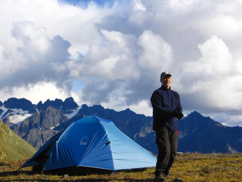
The rewards of this trip are fantastic, but do not underestimate the challenges. Don't try this one on unless you have some very solid Alaskan, backcountry experience with excellent route finding abilities. An experienced guide is recommended.